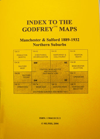
Alan Godfrey Maps
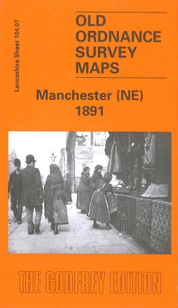
Manchester (NE) 1891
Code:
£3.50
Godfrey Map Number 104.07a. Manchester (NE) 1891. One of the most populated areas of Manchester, with thousands of dwellings surrounding cotton mills, saw mills, railways, goods yards, gas works, floor cloth works, chemical works. Smithfield Market, iron works, oil works, Tramways, etc. Includes: Great Horrocks; Miles Platting; New Cross; Ancoats; Holt Town; Oldham Road commencing at Swan Street/Great Aneoats Street as far as Hulme Hall Lane at Miles Platting. Churches include St Catherine’s, St George’s, St Jame’s Little Newton Street, St Jame’s Teignmouth Street, St John’s, St Lukes, St Mary’s, St Martin’s, St Patrick’s, St Peter’s, St Philips.