Alan Godfrey Maps
Audenshaw & Droylsden 1916
Code:
£3.50
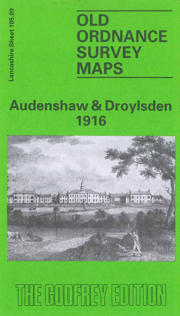
Godfrey Map Number 105.09. This map fits to the right of the map of Openshaw 1905 (Code 3114). It shows mainly terraced housing in Higher Openshaw; Droylsden (part) and Fairfield., thinning out along Manchester Road towards Audenshaw on the right side of the map.The main roads from left to right across the map are- Manchester Road, Ashton Road, Droylsden Road and Ashton Old Road. It includes: Prussiate Works, Sellars Works and St.Clements Church in Higher Openshaw; Abbey Hey; St.Mary’s Church off Ashton Road; Church of England Waifs & Strays Home (Girls) Audenshaw, etc.