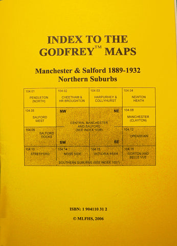
Alan Godfrey Maps
Blackley and Lower Crumpsall 1915
Code:Godfrey Map Number 96.15. This map shows Delaunay’s Road and Crescent Road Institutions, (now called The North Manchester General Hospital) and also Boggart Hole Clough off Charlestown Rd. and Rochdale Rd. The map shows mostly terraced houses, with Blackley New Road running along the top into Exchange Street and then Market Street into Rochdale Road, across Rochdale Road and up Charlestown Road (Booth Hall Hospital). The lower part of the map shows Lower Crumpsall with Crescent Road into Hazelbottom Road (the Coop Biscuit Works) up part of Central Avenue and on to Rochdale Road (Christ Church, Harpurhey). In Crumpsall Vale – The Dye Works and Chemical Works (ex ICI), and there are various Cotton Mills in this area. It includes: St. Matthews Parish Church Delaunays Rd., The Golden Lion Hotel and St.Peter’s Church on Market St., etc.