Alan Godfrey Maps
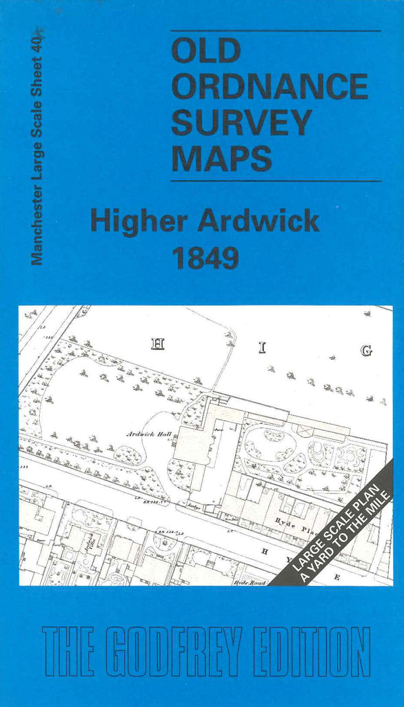
Manchester Higher Ardwick 1849
Code:
£3.50
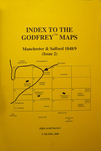
Godfrey Map Number 40. Manchester: Higher Ardwick 1849 36 inches to 1 mile . This map fits below the Upper Ardwick 1849 map, Code 3035 above. Includes: Ardwick Cemetery & Station; Hyde Rd; Stockport and London Rd; Devonshire Street; Syndall Street; Ardwick Green (part); etc.