Alan Godfrey Maps
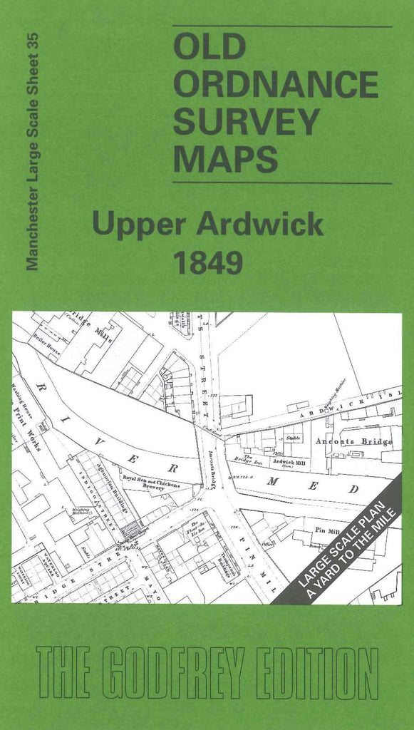
Manchester Upper Ardwick 1849
Code:
£3.50
Godfrey Map Number 35. Manchester: Upper Ardwick 1849 36 inches to 1 mile. Continuing the series of this scale of maps of Manchester, to the right of the London Road 1849 map. Includes: St Andrew’s Church, St Andrew’s Square; Tipping Street Chapel; St Silas Church, Ashton Road; River Medlock London & North Western Railway; Ancoats Bridge Dye Works; Mount Street Dye Works; Great Ancoats Street (part); Pin Mill Brow; Fairfield Street - Ogden Street - Ashton Road; etc.