Alan Godfrey Maps
Manchester (NE) 1931
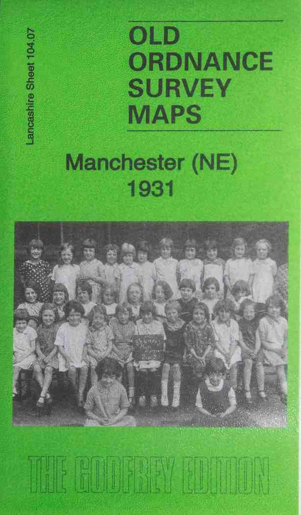
Code:Godfrey Map Number 104.07c. This is a later version of Manchester (NE) 1891 (Code 3121). The picture on the front cover of the map taken in 1930 may be of interest to the girls who attended Standard 2, St. Luke’s School in Miles Platting (or to descendents of those who attended the school). The main difference in this later version is the addition of many terraced houses on the right hand side of the map to the extension of Sandal Street on both sides of Hulme Hall Lane. It includes: Horrocks, Newtown, Miles Platting, New Cross, Holt Town. Also includes: Dalton Works (Printing & C.) off Dalton St., Oldham Rd. Goods Station, Newton St. Post Office, various cotton mills off Union St.,Lower Vickers St.,& Pollard St., Ducie Saw Mills, Chemical Works on Canal St., St. Luke’s Church Albion St., St. Patrick’s RC Church Suddell St., etc. On the reverse side of the map is a list of residents on Bradford Rd., Bradford St. and Holland St., (Extracts from Kelly’s Directory of Manchester & Salford 1938).