Alan Godfrey Maps
Wigan (Marus Bridge) 1907
Code:
£3.50
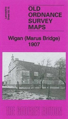
This highly detailed map covers the SW area of Wigan stretching from Hawkley Hall southward to Park Lane Collieries. The Warrington Road runs north-south through the map. Features include Park Lane Collieries, Hawkley Hall, Ben Johnson Inn, Derbyshire House, Tan Pit Cottages, Cranberry Ley, LNWR Pemberton Branch, Hatton Hosue Far, tramways, Worthington Fold. On the reverse we include a six inches to the mile map for 1907, covering this area but also eastward to Bamfurlong Colliery and Moss Pits. The map links up with sheets 93.11 Pemberton to the north, 93.14 Winstanley to the west, 93.16 Ince Moss to the east,