Alan Godfrey Maps
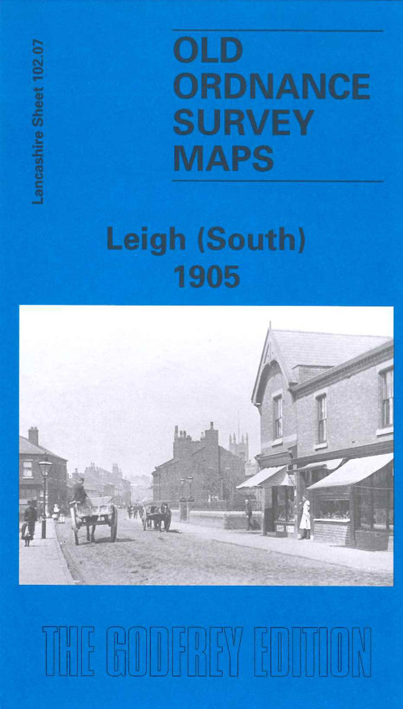
Leigh (South) 1905
Code:
£3.50
Godfrey Map Number 102.07. Lancashire: Leigh (South) 1905. Part of Leigh. This map shows the Bridgewater Canal separating the townland from the farmland. in the towniand there are various cotton mills; Welsh Hill, Pennington, Rose, Stanley, Mather Lane, Alder and Bedford. Works: Gas, Albion hon, Vulcan hon and Anchor Cable. Also includes: Christ Church, St Joseph’s RC Church and St Thomas Church; Pennington Hall, Hopecarr Hall, Sandy Pool Farm.