Alan Godfrey Maps
Rose Grove, Lowerhouse & Habergham 1909
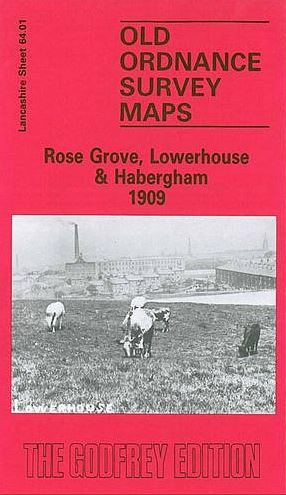
Code:Here are the details of maps for Rose Grove: Lancashire Sheet 64.01 Rose Grove, Lowerhouse & Habergham 1909 - published 1986; intro by Jean Siddall. ISBN.978-0-85054-045-1 This detailed map covers a fascinating area on the west side of Burnley. Coverage stretches from Wordsworth Street westward to the eastern edge of Padiham, and from the Accrington Road northward to the Padiham Road. Three distinct areas, Rose Grove, Lowerhouse and Habergham are included on the map. Features include stretches of railway with Rose Grove station, engine shed and Smallshaw Sidings; Globe Iron Works, Peel Mill, Imperial Mill, Higher Smallshaw, Woodbine Mill, Lane Ends, Leeds & Liverpool Canal, Woodbine Farm, Lower Rosegrove, Lowerhouse Mill, Knotts, Lowerhouse Print Works, Ivy Bank, tramways, Habergham Colliery, All Saints church. On the reverse we include extracts from an early directory for Lowerhouse Lane, Padiham Road and Rose Grove Lane.