Alan Godfrey Maps
Smithy Bridge 1908
Code:
£3.00
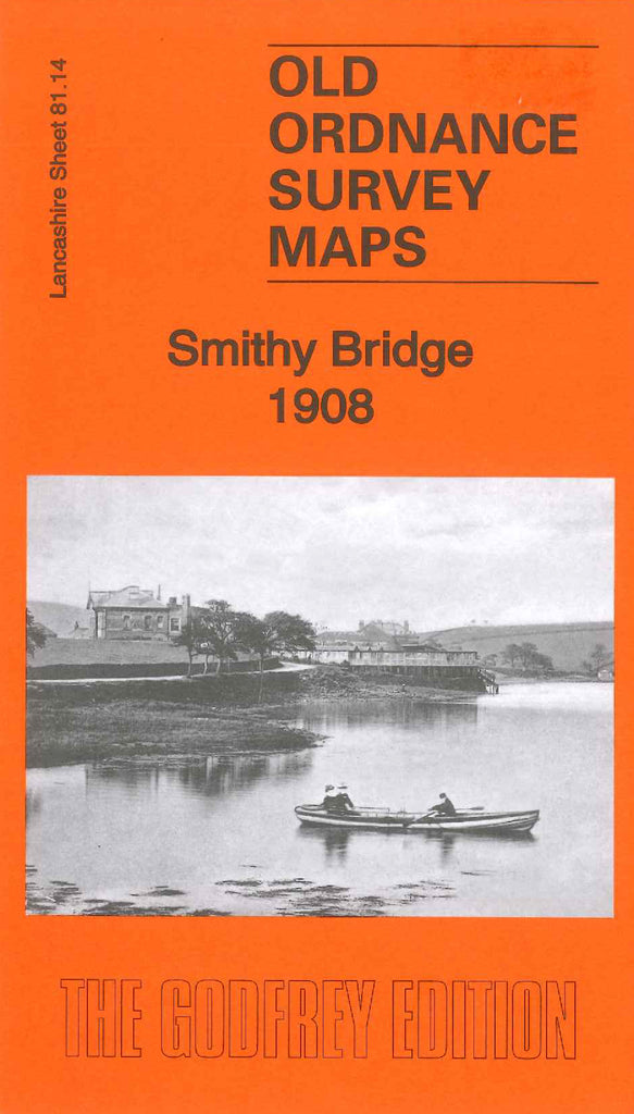
Godfrey Map Number 81.14. This map fits below the map of Littleborough 1891 (Code 3624) It shows houses along either side of Halifax Rd., New Rd., & Union Rd. at Durnstead & Dearnley in top left corner of the map and a few rows of houses along Smithy Rd. at Little Clegg & Smithy Bridge in the centre of the map, the remainder of the map is farmland. It includes: Calliards Mill (Woollen) & Trafalgar Mill (Woollen) Tube & Fire Brick Works, Broadfield Mill (Dying & Polishing), Lancashire & Yorkshire Railway, Rochdale Canal, Hollingworth Lake, Isolation Hospital, etc.
On the reverse side of the map is a list of residents, extracted fron Kelly’s Directory of Lancashire 1916.