Alan Godfrey Maps
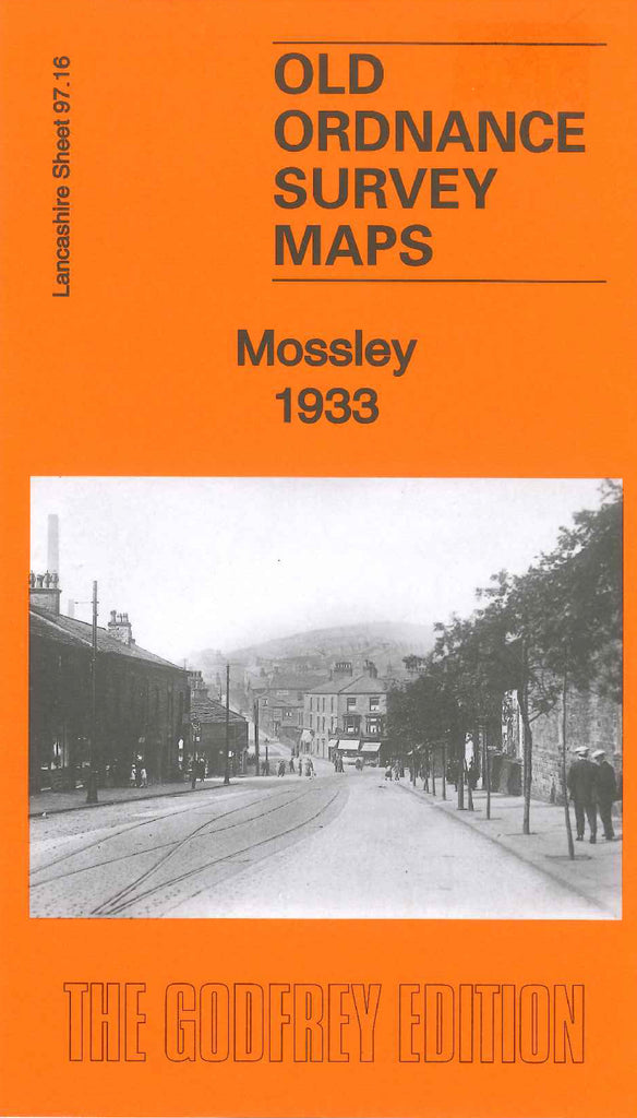
Mossley 1933
Code:
£3.00
Godfrey Map Number 97.16. This map fits above the map of Mossley (South) 1906 (Code 3389) It shows terraced, semi and detached houses in estates Sandbed, Brook Bottom, Fox Platt, Quick Wood, Mossley Brow, Rough Town, Bottoms and Micklehurst. On the outskirts of these is farm lands. It includes: various cotton mills, London, Midland & Scottish Railways St.George’s Church & Burial Ground, Mossley Foorball & Recreation Grounds, All Saints Church, etc. On the reverse side of the map is a list of private residents from Kelly’s Directory of Lancashire 1918.