Alan Godfrey Maps
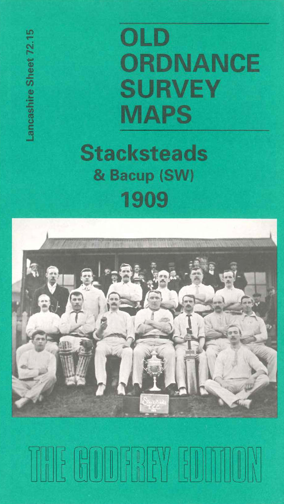
Stacksteads & Bacup (SW) 1909
Code:
£3.00
Godfrey Map Number 72.15. This map fits below the map of Bacup 1909 (Code 3360). It shows New Church Road from the left of the map starting at Rawtenstall end to the Bacup end. The main housing is on each side of this road, and the L.& Y.R. Railway Bacup Branch follows the same route. There are large quarries and open lands. It includes: Tunstead, Nunn Hills, cotton mills, New Hey Mill (Shoe & Slipper), Cemetery, River Irwell, Holy Trinity Church, School & Workmen’s Club on Huttock End Lane, etc.

