Alan Godfrey Maps
Pendle 1896
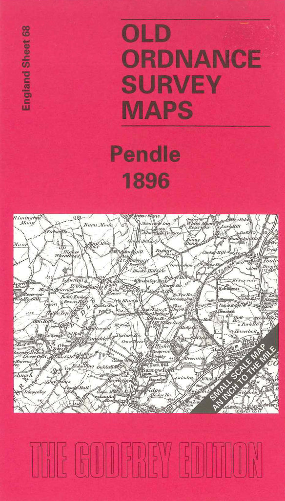
Code:Godfrey Map Number 68. Pendle 1896 1 inch to 1 mile. Pendle Hill occupies much of the central part of this sheet. To the NW it is flanked by the River Ribble, and beyond are the lower slopes of the Forest of Bowland. To the SE is the River Calder, with the Pennines rising to 1,700ft. The map shows the western side of the easiest Pennine crossing from the Ribble to the Aire valley. The map is split almost equally between Lancashire and Yorkshire. The border pursues a strange course across the map, it starts out in the SE corner following the east-west watershed of the Pennines, but it then follows the river down to Great Mitton, and then up the River Hodder to the edge of the map. Includes: Crawshaw, Bolton by Bowland, Barnoldswick, Lothersdale, Nelson, Colne. Clitheroe, Padiham, part of Burnley, Billington, Whalley, etc.