Alan Godfrey Maps
Lower Mersey - Runcorn & Warrington 1913 (The)
Code:
£3.50
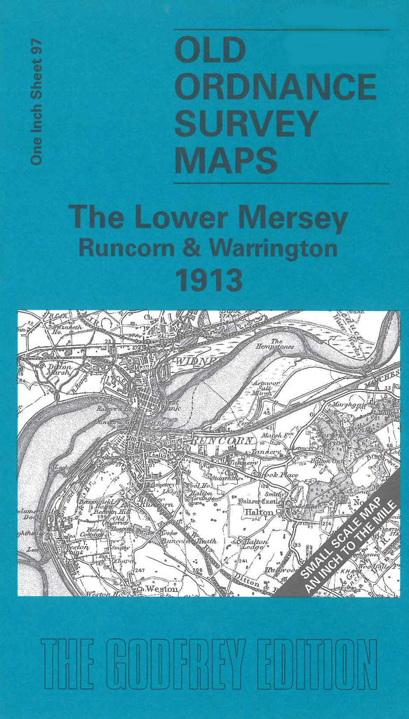
The Lower Mersey - Runcorn & Warrington 1913. 1 inch to 1 mile. Takes in from Old Swan, Garston, Ellesmere Port to Arley Hall, Great Budworth and Statham, west to east; Knowsley Park, Collins Green to Whitby, Anderton & Marston, north to south. Warrington, Widnes & Runcorn prominent in the central area. There is a map of Preston on the Hill on the reverse.