Alan Godfrey Maps
Croxteth Hall 1906
Code:
£1.00
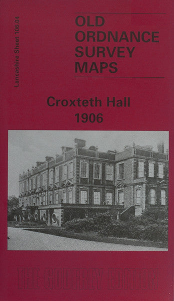
Godfrey Map Number 106.04. Liverpool: Croxteth Hall 1906. This map fits above West Derby map (Code 3214) and to the right of Walton on the Hill map (Code 3219) in the Mersyside area. It is mainly open ground with Croxteth Hall to the lower middle right of the map. Includes: Church of the Good Shepherd; Police Station; Dog & Gun Inn; Parkside Nursery; Norris Green; etc.