Alan Godfrey Maps
Barrow in Furness (South) 1911
Code:
£3.50
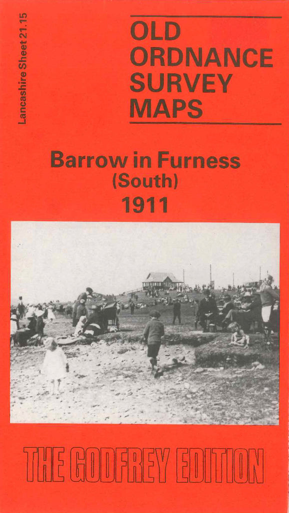
Godfrey Map Number 21.15. This map fits below two maps of Barrow in Furness, (West) 1911 (Code 3306) & (East) 1911 (Code 3303). One fifth of the maps shows the sands on the left side, then Bigger Bank (Recreation Ground), Tummer Hill Rabbit Warren, marked off open lands, Tummer Hill Marsh. Remainder shows mainly Biggar Sands & Walney Channel. It includes: Vickerstown (part), Ramsden Dock Rd., Cove Hakes, etc.