Alan Godfrey Maps
Barrow in Furness (NE) 1911
Code:
£3.50
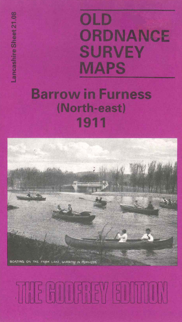
Godfrey Map Number 21.08. This map fits above the map of Barrow in Furness (East) (Code 3303). About a third is populated with mainly terraced houses on the left of the map, Abbey Road runs alongside from top to bottom. There are some semidetached houses at the top on Thorncliffe Road. The rest of the map is open fenced lands. It includes: The Cemetery (part), Infectious Diseases Hospital Cocken Lane, St. Matthew’s Church Harrogate St., Central Station, Crosslands Park, Newbarns, Furness Railway, A large Public Park, Roose House Station Rd. West, Ship Inn Parkhouse Rd. etc.