Alan Godfrey Maps
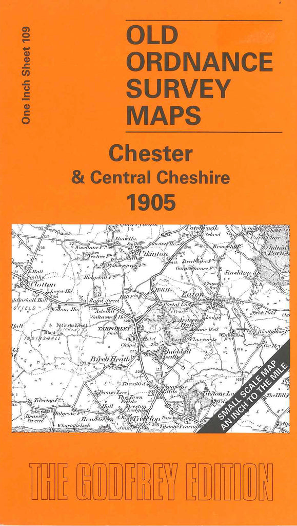
Chester & Central Cheshire 1905
Code:
£3.00
Godfrey Map Number 109. Chester & Central Cheshire 1905. 1 inch to 1 mile. Ranges from Chester across to Northwich, Winsford and Church Minshull in the east. On the reverse is a detailed map of Tattenhall.