Alan Godfrey Maps
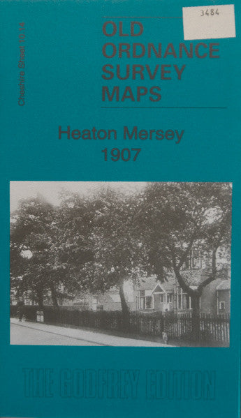
Heaton Mersey 1907
Code:
£3.50
Godfrey Map Number 10.14. This map fits above the map of Cheadle & Cheadle Heath 1897 (Code 3433). The map shows terraced, semi and detached housing on either side of the Didsbury Rd., Moorside Rd., and Heaton Moor Rd. The remainder of the map shows farmlands. It includes:- Brick & Pottery Works, St. John the Baptist’s Church, Bleach Works, Barnes Home Industrial School, M.R.Manchester South District Railway Line, Cheshire Iines Railway, River Mersey, etc.On the reverse side of the map is a list of residents on Albert Rd., Bank Hall Rd., Didsbury Rd., Green Lane, Hawthorn Rd., Moorside Rd., Poplar St., Priestnall Rd. & St. John’s Rd. (Extracts from Slater’s Directory 1917).