Alan Godfrey Maps
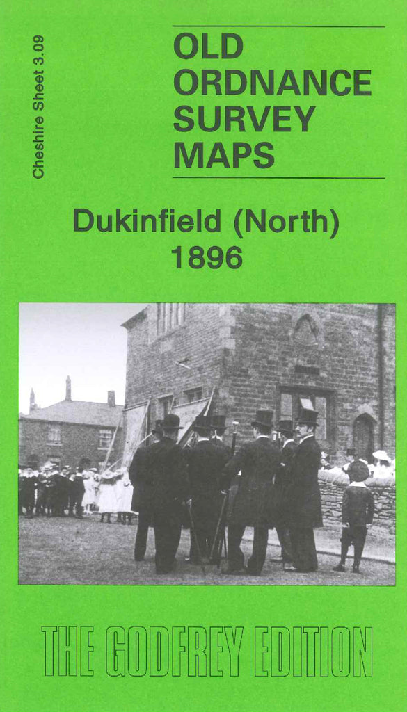
Dukinfield (North) 1896
Code:
£3.50
Godfrey Map Number 03.09a. This map fits to the left of Stalybridge 1897 (Code 3418). The earliest OS large scale maps did not go across county boundaries, and so in this case the Lancashire part of this map, at the top, is left blank. It shows The River Tame (part), L& N.W.R. Stalybridge Junction Railway Line (part), Huddersfield Canal (part), It includes: various Cotton Mills, a large Cemetery off Park Rd., St. Mark’s Church Church St., Dukinfield Brewery, Sandy Vale Print Works, St.John’s Church Vicarage St., etc.