Alan Godfrey Maps
Knutsford (North) 1908
Code:
£3.00
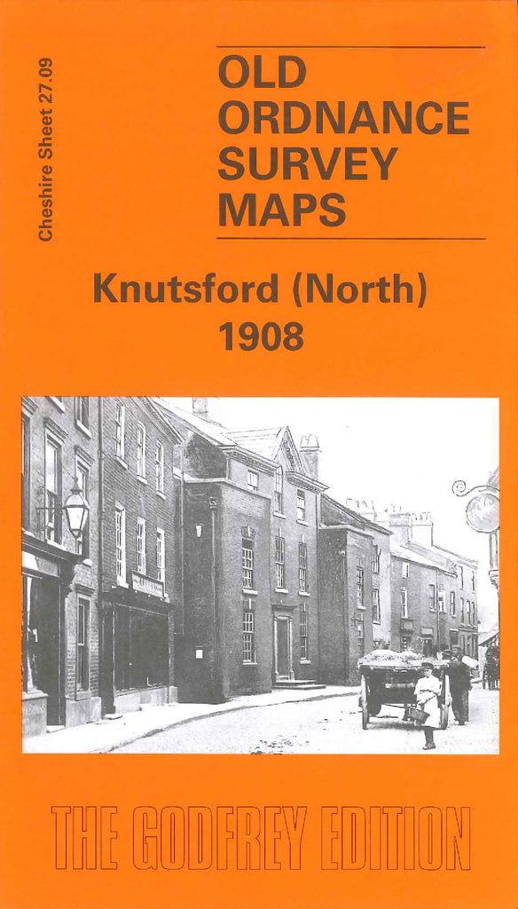
Godfrey Map Number 27.09. Knutsford (North) 1908. 15 inches to 1 mile. Fits north of 3446 Knutsford (South) 1908. Shows the northern part of the town. Tatton Mere is shown in the north of the map. Also shown: cemetery, grammar school, several farms, bowling green, cricket ground, football ground, sewage works, brick works, St Cross Church (remains of) graveyard, St John the Baptist Church and graveyard.