Alan Godfrey Maps
Knutsford (South) 1908
Code:
£3.00
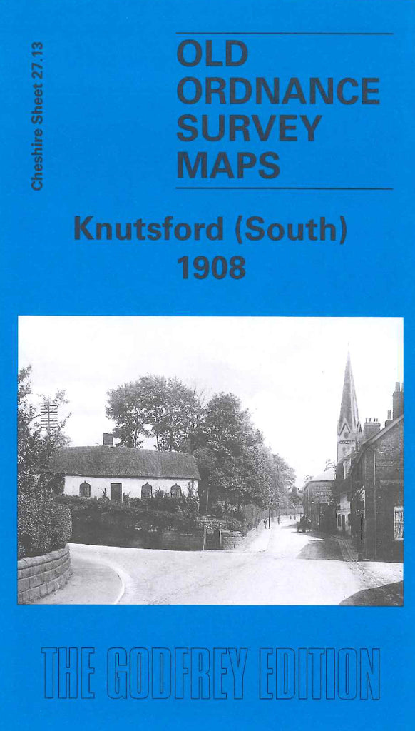
Godfrey Map Number 27.13. Knutsford (South) 1908. 15 inches to 1 mile. Covers the south of the town. Includes His Majesty's Prison, Bucklow Union Workhouse, St John the Baptist church, Bexton Saw Mills and Bexton Hall. Cheshire Lines Railway cuts across the map from northeast to southwest. Two thirds of this map is taken up by farm land.