Alan Godfrey Maps
Hoylake cum West Kirby 1909
Code:
£3.00
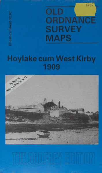
Godfrey Map Number 12.07. This map fits below the map of Hoylake 1909 (Code 3408). To the left is the River Dee and Sands, along the front shows detached houses, part inland shows terraced and semi & detached houses.the rest of the map is open farmlands. It includes: Golf Links, Royal Liverpool Golf Club, Golf Course, Wirral Railway line, Children’s Convalescent Home & St.Andrew’s Church on Meols Drive. On the reverse side of the map is Hilbre Island & Middle Island, etc.