Alan Godfrey Maps
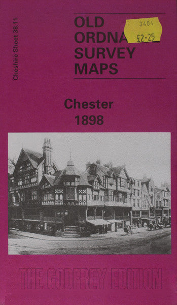
Chester 1898
Code:
£3.50
Godfrey Map Number 38.11a. The map shows the River Dee; L.& N.W.R. Chester & Holyhead, Chester & Crewe, and other Railway Lines; Shropshire Union Canal. It includes: General Station, Northgate Station, Diocesan Training College, St. Thomas’s Church Parkgate Rd., Garden Lane, St.Werburgh’s Abbey Cathedral, General Infirmary City Walls Rd., St. John’s College off The Grove, Hoole, Queen Hotel City Rd., Phoenix Tower, Remains of Roman Buildings off Newgate St., Roman Tombs (AD 1858), etc.