Alan Godfrey Maps
Manchester (SW) 1916
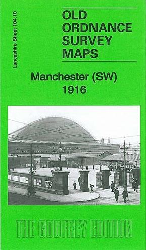
Code:We have published two versions of this busy map, showing how the area developed across the years. Coverage stretches from Derby Street eastward to Sackville Street, and from King Street southward to Dale Street. Areas covered include the east part of Ordsall, Cornbrook, St John Ward, St James Ward, part of Oxford Ward, Knott Mill, Gaythorn, part of Hulme, St George Ward. Features include Salford Goods station, Ordsall Lane station, Liverpool Road Goods station, Central station, Cheshire Lines Goods station, Deansgate station, Oxford Road station, many other railway features; tramways; River Irwell and part of Manchester Ship Canal, River Medlock, Castle Field Wharves, Britannia Emery Mills, Cavalry Barracks, Cornbrook Chemical Works, Gaythorn Gas Works, Cambridge Street India Rubber Works, St James Hall, Manchester Royal Infirmary, Rochdale Canal, Free Trade Hall, St Peter's Square, Town Hall, Salford Rolling Mills and much more. The 1916 version includes extracts from a contemporary street directory for Oxford Street, Peter Street and St Peter's Square. The map links up with sheets 104.06 Manchester NW to the north, 104.09 Salford Docks to the west, 104.11 Manchester SE to the east and 104.14 Moss Side to the south.